Harilaid islet

Harilaid islet

Kõruse-Metsaküla, Saaremaa vald, Saare maakond

View on map

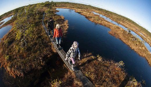
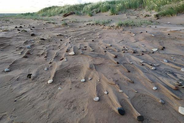
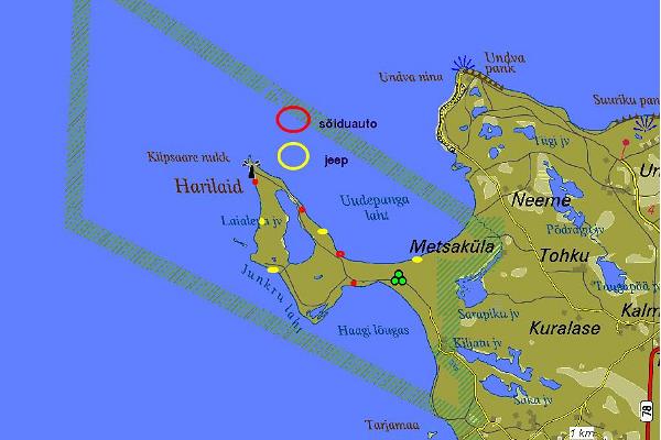
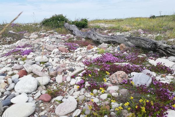
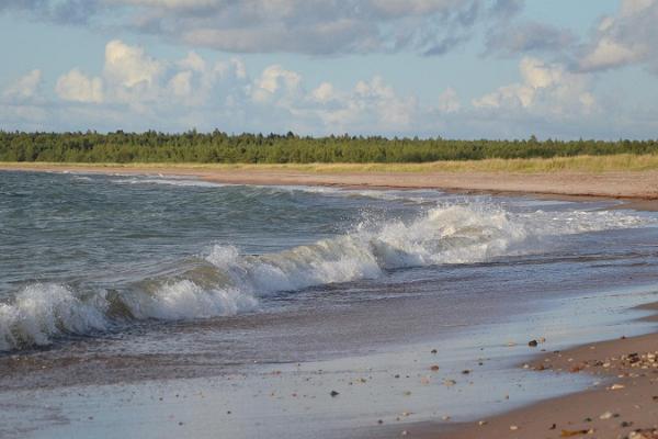
Harilaid islet has a truly unique elongated trapeze shape that is defined by waved boundaries that line the islet from its South-East to North-West points. A low plain, its highest elevation does not exceed 5 m, and the entire area of the peninsula is a mere 3.62 km².

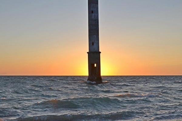
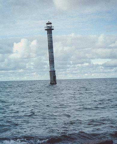
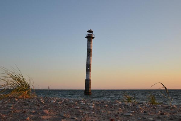
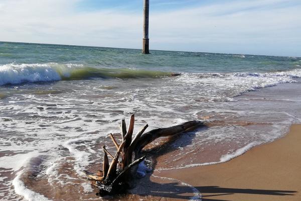
With a lighthouse on Harilaid's northeasterly Kiipsaare cape, and an opposite southeasterly point named Kelba; Harilaid may be small in size, but it is vast in its diversity. The peninsula's flora represent 261 species of flowering plants and vascular cryptogams.

Did you know...?: Harilaid rose from the sea as an island 1,000-2,000 years ago.
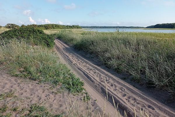
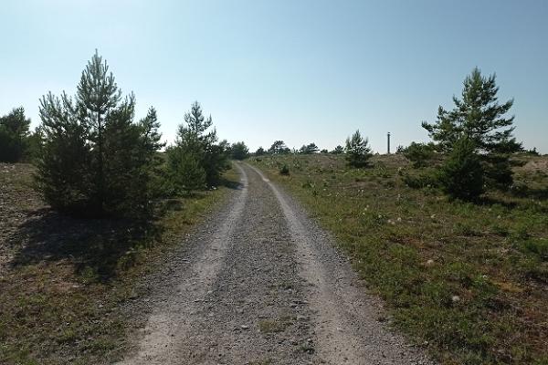
Times and prices

Open all year round

24 hours

Features and amenities

  • Camping area

Getting there

Access

  • Signposted
  • On foot only

Coordinates

View on map

Reviews

TripAdvisor Traveler Rating

JMK-Pittsburgh

JMK-Pittsburgh

Enjoyable Hike

My wife and I started from the parking lot and hiked the loop with a detour to the lighthouse. It took us about 2 hours and 45 minutes including stops. The woman at the Park’s Visitor Center said...

Ireleh

Ireleh

Very cool plave to visit!

From the parking lot to the destination and back we had to walk 9 km in total. The beautiful road to the old lighthouse are things you need to experience!

M H

M H

Unique lighthouse and some great bird-watching

We visited Harilaid on a cold March day and so we had it to ourselves. We suspect, however, due to its location and the need to have your own transport, that it is never overly crowded. Once we'd...

Check out other services offered by this provider

Places nearby

View on map