ARUKÜLA, Kaarepere küla, Jõgeva vald, Jõgeva maakond
 See photos (4)
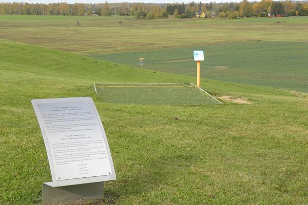
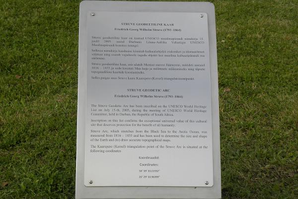
 The Struve Geodetic Arc is a survey circuit created by astronomer and surveyor Friedrich Georg Wilhelm Struve to specify the size and shape of the Earth and to produce accurate topographic maps, consisting of 265 measuring points and extending from the Arctic Ocean to the Black Sea.
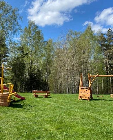
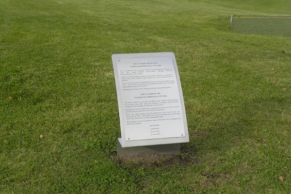
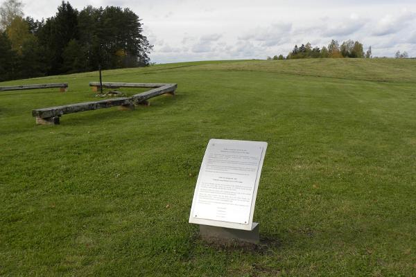
One of the triangulation points is located in Kaarepere on Aruküla hill. The point is marked with an information board and in the immediate vicinity, there is the Kaarepere disc golf course, a barbecue and picnic area, and a pleasant village swing.
In 2005, the Struve Arc was entered into the UNESCO World Heritage List.
Wheelchair access
From Kaarepere, turn left when coming from Tartu and turn right when coming from Jõgeva. Drive about 900 metres and turn right up the hill and drive straight ahead for 100 metres.
| Bus: | Kaarepere |
| Train: | Kaarepere |