ELVA METSKOND 216, Tamme küla, Elva vald, Tartu maakond
 See photos (9)
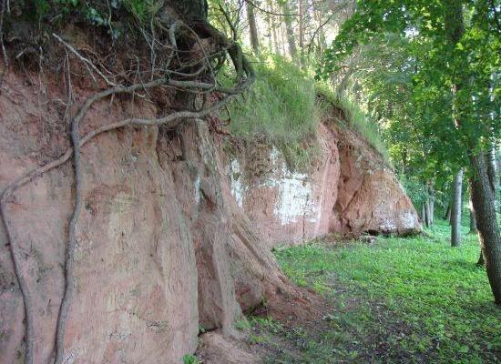
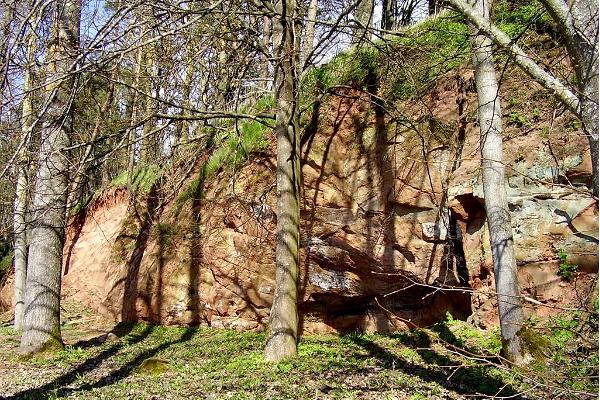
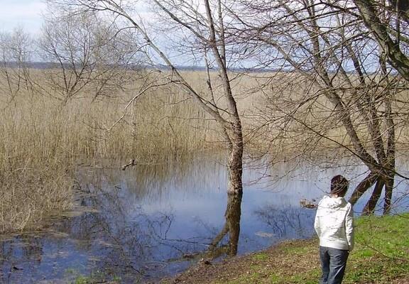
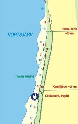
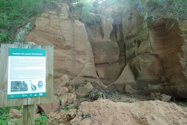
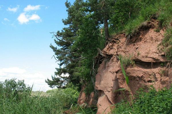
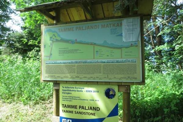
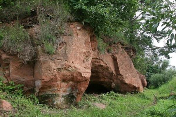
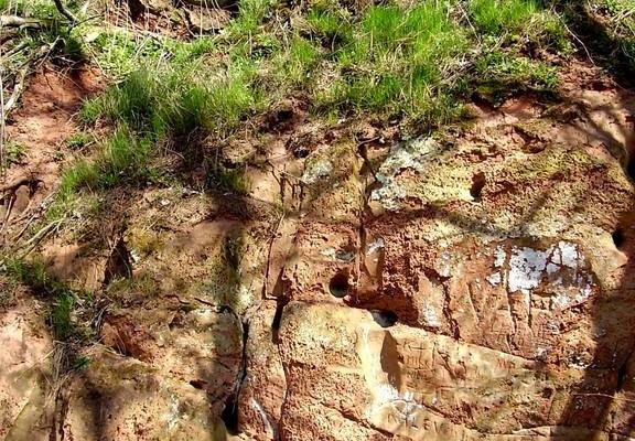
 Tamme Outcrop hiking track is located on the eastern shore of Lake Võrtsjärv between the villages of Tamme and Neemisküla in Elva municipality. The area is rich in Devon sandstone outcrops from the Aruküla layer. Tamme Outcrop, which is located on the track, is an area where placoderms have been found and where valuable paleontological material has been collected since the second half of the 19th century.
Ten information boards have been set up along the hiking track, which is almost 2 km long. They provide interesting information about the local natural environment.
If you walk 1 km north on the track, you can turn back and hike back along a field or on a forest trail on the outcrop.
Follow the signs from Kureküla bus stop on Sangla-Rannu highway. There is also a sign in the Trepimäe recreation area. The start of the hiking track is marked with a sign and an information board. It starts next to the gravel road, where you can park your car.