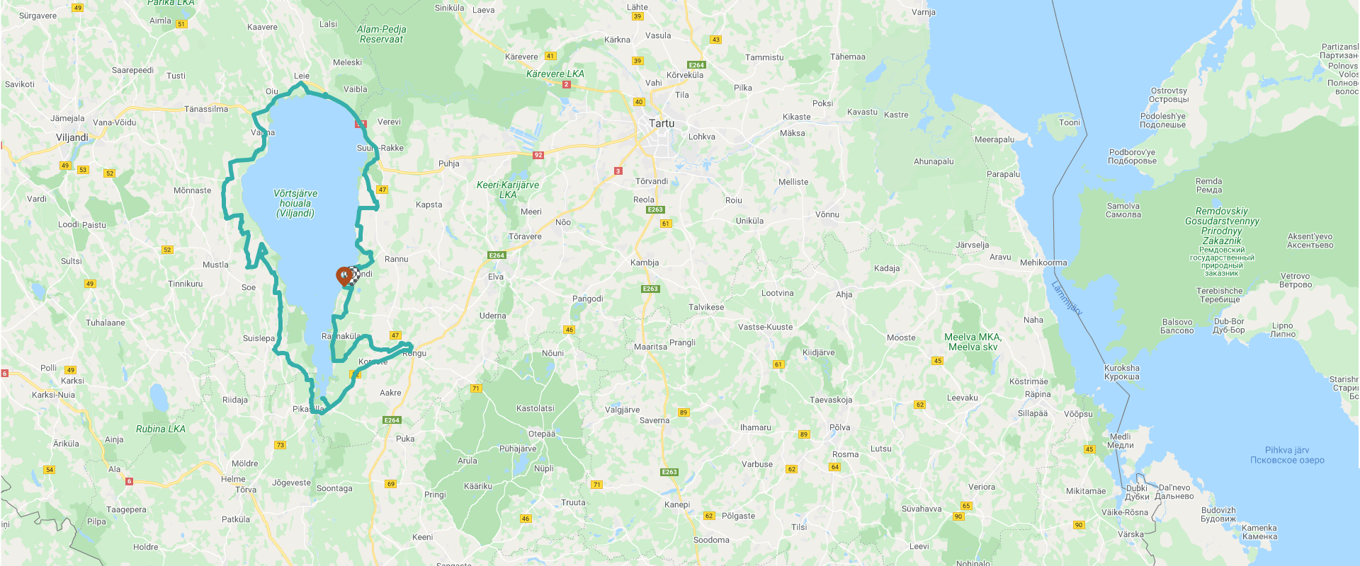
The Lake Võrtsjärv cycling path: Centre for Limnology – Vehendi – Trepimäe – Raudja – Tamme polder – Rannu church – Neemisküla – Uniküla – Kariküla – Väike-Rakke – Sangla-Jõesuu – Vaibla – Ulge – Oiu – Valma – Riuma – Väluste – Tarvastu polder – Kivilõppe – Järveküla – Suislepa – Karuküla – Pikasilla – Vooremäe – Valguta polder – Nooni peninsula – Haani – Centre for Limnology
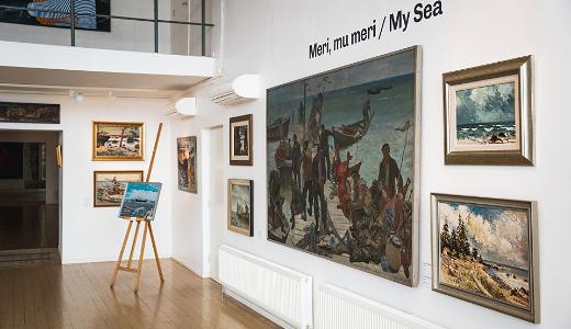
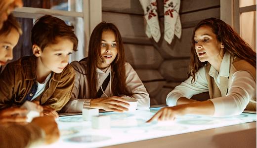
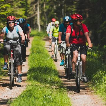
This route takes you around Estonia's largest inland body of water, Lake Võrtsjärv. The starting point of the cycling path is the Centre for Limnology, which houses a museum alongside a research centre.
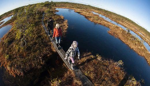
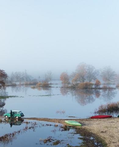
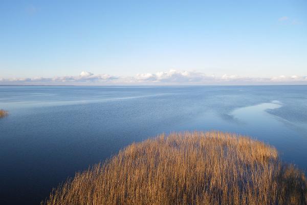
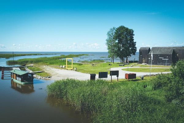
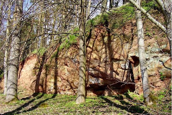
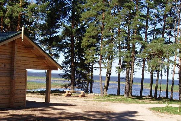
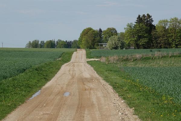
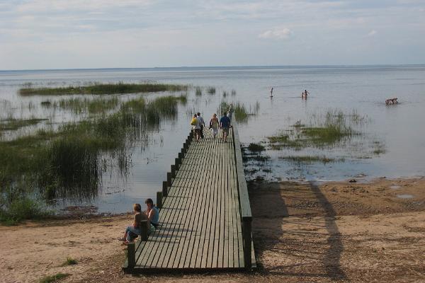
Cycling along the small roads, you will see the Vehendi recreation area, Trepimäe's once famous summer venue and the Tamme outcrop. Once you have crossed the River Emajõgi, you can learn about the lake at the Visitor Centre and see it from the observation tower. The Vaibla summer resort area and beaches are also popular, as is the Valma Holiday Camp a little further away.
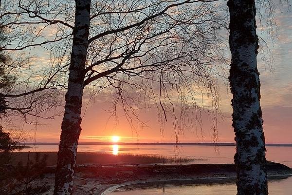
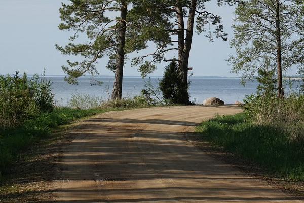
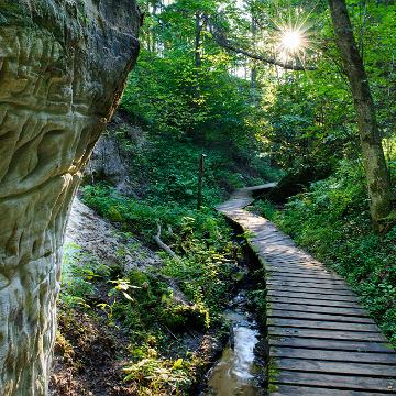
The route along the western shore of the lake primarily follows small roads, where you can experience the local life and undisturbed nature. From Pikasilla to Rõngu, the track continues along paved roads, then follows small paths once more to Valguta polder before reaching the Centre for Limnology again along the shoreline.
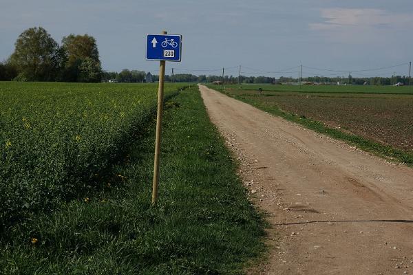
Route markings only indicate the counter-clockwise direction to follow around the lake. The total length of the route is 140 km, of which about 68 km is on paved roads. Most of the route is on small forest and gravel paths.
As Lake Võrtsjärv is far from any major urban centres, it might be necessary to use highway transport or cycle from Elva or Palupera station. From Elva, take Route 15.