
 Source: Maire Meeling
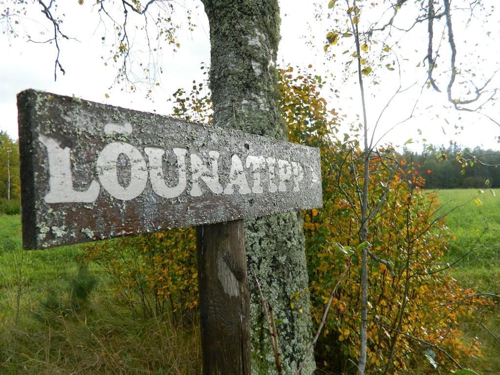 Source: Veljo Laugamõts
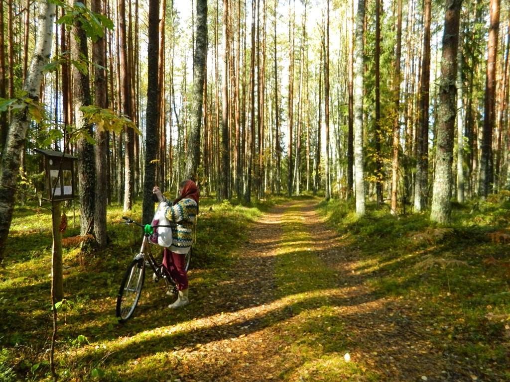 Source: Veljo Laugamõts
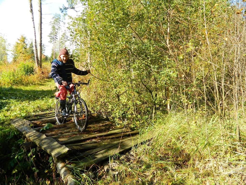 Source: Helgi Laugamõts
 Source: Veljo Laugamõts
 Source: Veljo Laugamõts
 Source: Veljo Laugamõts
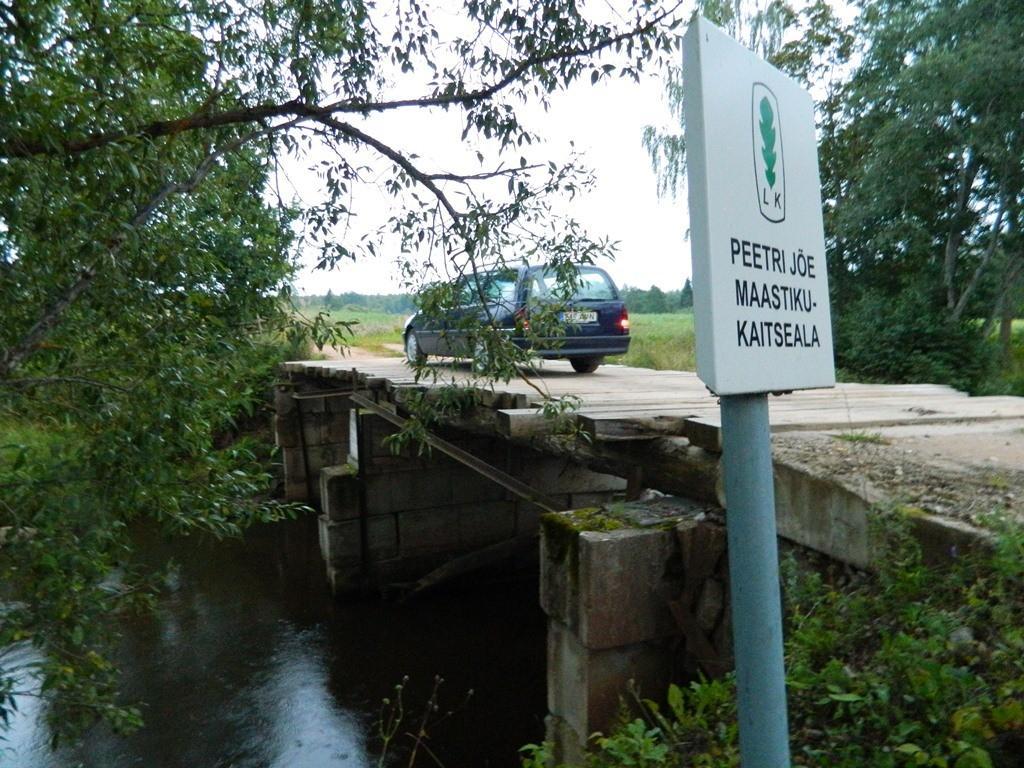 Source: Veljo Laugamõts
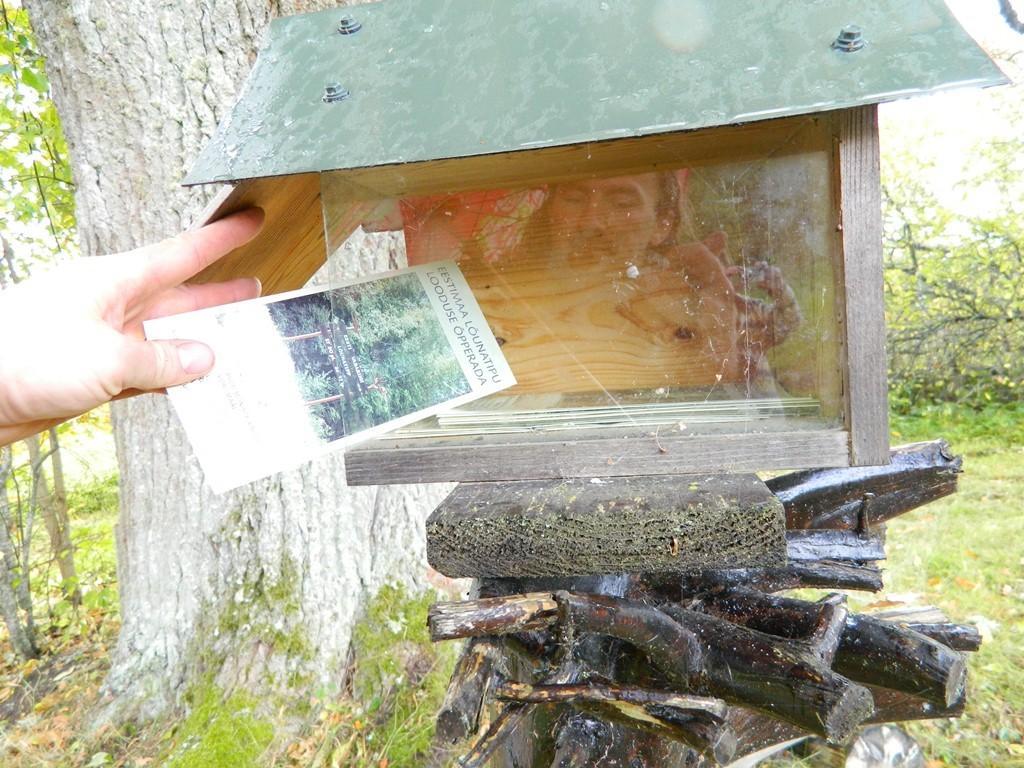 Source: Veljo Laugamõts
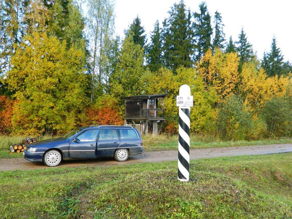 Source: Veljo Laugamõts
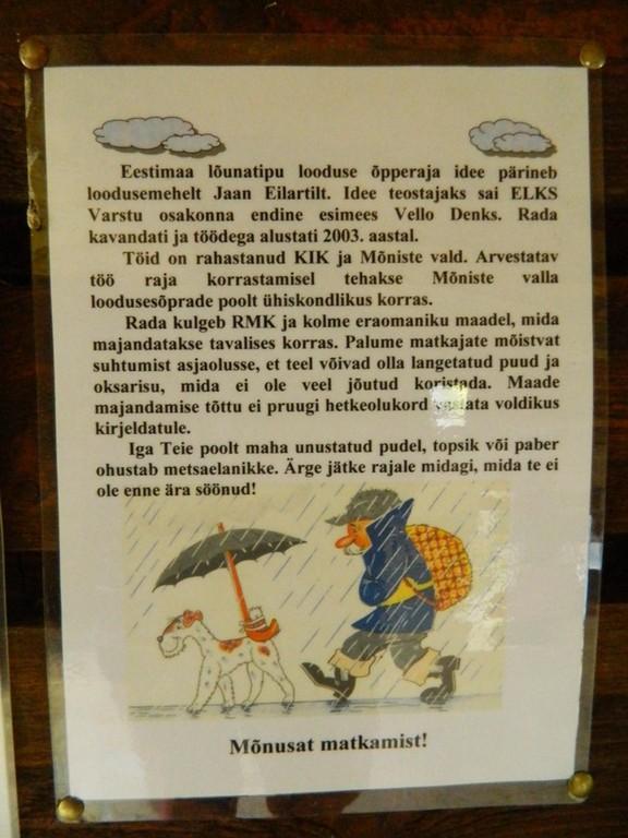 Source: Veljo Laugamõts
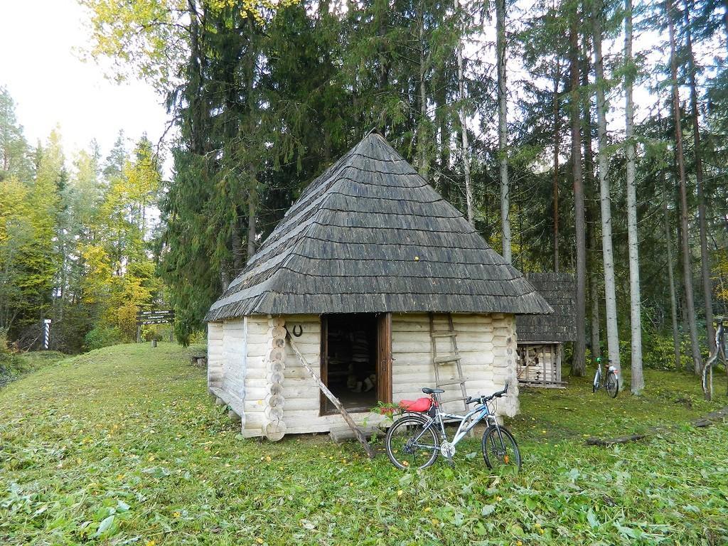 Source: Veljo Laugamõts
1 / 12

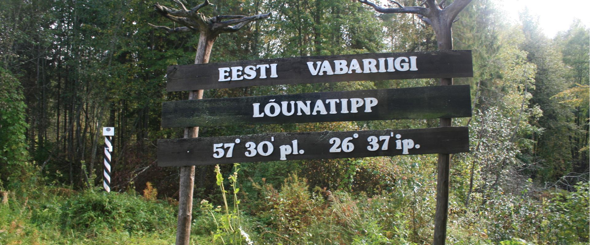
A nature study trail in the southernmost point of Estonia
Drive along the Võru-Valga highway from Saru to Kuutsi-Tiitsa-Karisöödi-Ura-Naha (about 14 km). The trail is about 4.8 km long and it takes a couple of hours to walk it through. The trail starts under the oak-tree with a perimeter of about 4 metres in Naha farm and runs very close to the state border, so make sure you take your ID with you.
Interesting to know: you cannot put your foot down on the southernmost point, as the geographically correct southernmost point of Estonia is situated about 5 steps away from the marked spot, just in the middle of the Peetri River.
Interesting to know: you cannot put your foot down on the southernmost point, as the geographically correct southernmost point of Estonia is situated about 5 steps away from the marked spot, just in the middle of the Peetri River.
Opening times
Open all year round
Round the clock
Location
Lõunatipu puhkekoht, Karisöödi küla, Rõuge vald, Võru maakond
voru@visitestonia.com